In Carleton, Canada,
Oratory Mont St-Joseph
is situated at 555meters high,
above the town in the
Notre Dame Mountains,
a portion of the Appalachian Mountains.
Oratory Mont St-Joseph
is situated at 555meters high,
above the town in the
Notre Dame Mountains,
a portion of the Appalachian Mountains.
You can drive up or walk up, on a steep paved road.
I am sharing some of my photos of this beautiful place.


High up in the clouds

My daughter Suzanne


Inside the Catholic Oratory Mont St-Joseph.


Lots of beautiful stained glass and marble.

A manger scene

Light a candle


A lookout


A view of the
Baie des Chaleur.


New Brunswick across the Bay.

Local artists paintings

A short hiking trail to see windmills.

150 meters to view Windmills
which generate hydro electric power.

In the distance.
A Wind Turbine Farm.
A Wind Turbine Farm.

A close-up

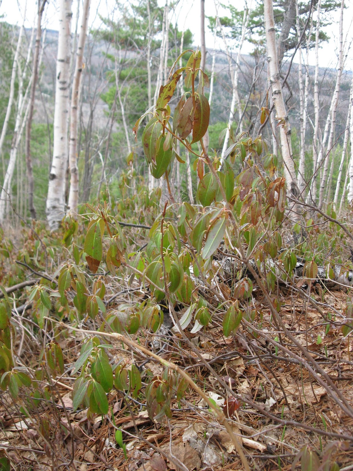
Hiking trails

A list and description
of the hiking trails.
Also available in English.


The road going down the mountain.
It is advised that you have
your car in low gear
to descend the mountain,
to protect your brakes.
to descend the mountain,
to protect your brakes.

road at the bottom.
However higher up,
However higher up,
the road is curvy and
winding on the mountain edge.
winding on the mountain edge.

Lunch in Carleton

A Microbrasserie

Thanks for your visit
💙💙💙